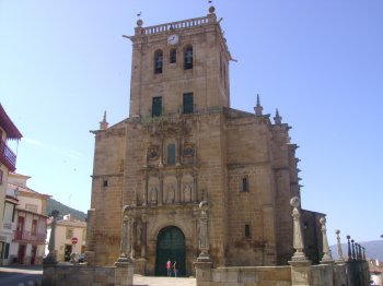
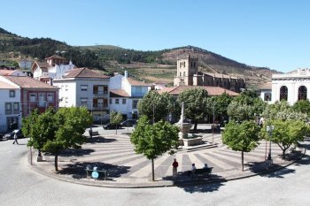
Serra do Reboredo
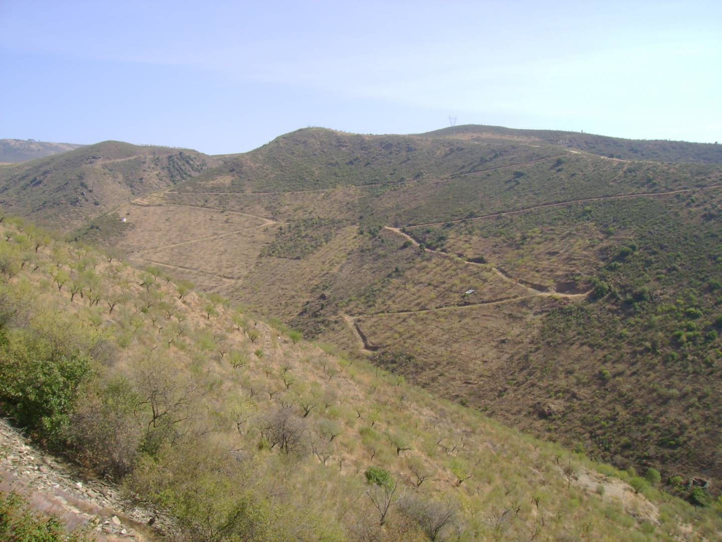
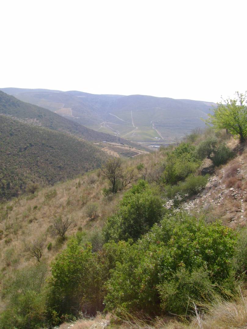
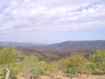
Small rock mass located east of the Sabor River, close to Torre de Moncorvo. It measures around ten kilometers in length, reaching its maximum altitude in Fraga do Facho. It is a very wooded mountain range, which invites you to take beautiful walks among the dense vegetation. Here we find, in addition to the Lusitanian oak, wild chestnut trees, beeches, black trees and pines. In other times, the bush hid several big game animals such as bears, wild boars and deer and the town's population went here to stock up on firewood. Reboredo preserves, in its subsoil, very rich deposits of hematite, constituting one of the most important in Europe. Already known to the Romans, the mines had a period of great exploration during the Second World War, with the ore being exported to England.
Contacts
Serra do Reboredo
5160,Moncorvo
- Mountains
- car access
Characteristics
Natural Resources near Serra do Reboredo
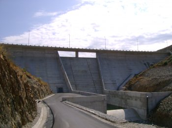
Barragem do Arroio
A dam in a mountainous area, near the Spanish border. It belongs to the Doujro river basin.
Barragem do Palameiro
Dam located in the Northeast of Trás-os-Montes, framed by a beautiful landscape of almond and cherry trees. It is integrated into the Douro Hydrographic Basin,…

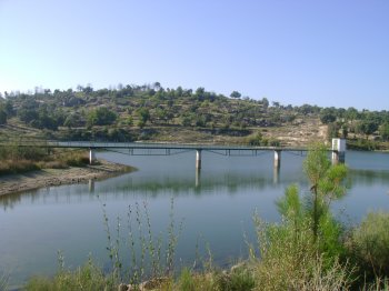
Foz do Rio Sabor
The Sabor River originates in the Serra de Gamoneda (Montes de León), in the Spanish province of Zamora, at around 1600 meters above sea level, then runs for m…