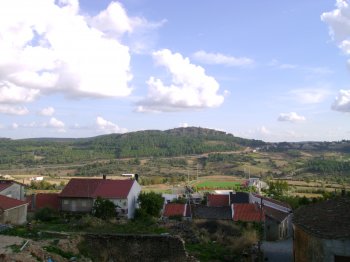
Belonging to the Ancient Massif of Trás-os-Montes, this mountain is located in the extreme northwest of the national territory, between the Douro River and the Sabor River, rising to around 993 meters. The forest landscape has a predominance of pine and chestnut trees, interspersed with some cultivated spaces. The excellent viewpoints stand out: Pico de São Cristóvão and Alto da Castanheira.
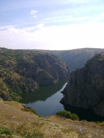
Integrating the municipalities of Figueira de Castelo Rodrigo, Freixo de Espada-à-Cinta, Miranda do Douro and Mogadouro, the Douro Internacional Natural Park covers the 122 kilometers of border section of the Douro River and extends south, to the Douro Valley. From a very deep valley and two plateau areas (essentially granite), one to the North with altitudes of around 700-800 meters and the other to the South with altitudes of around 600-700 meters. The gorges carved by the Douro and Águeda rivers are extremely deep (up to 200 meters) and of great beauty. The Park reaches its maximum altitude (895 meters) …
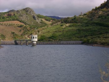
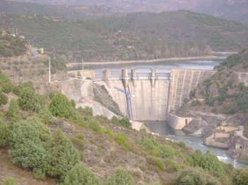
A dam surrounded by a lovely landscape of vineyaerds on hedges, on the Douro river's basin. The access by boats is conditioned to the water level of the reservoir.