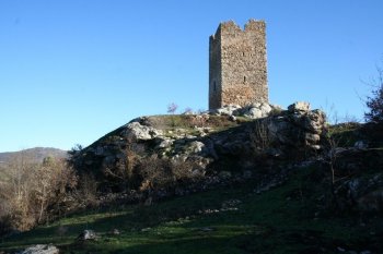
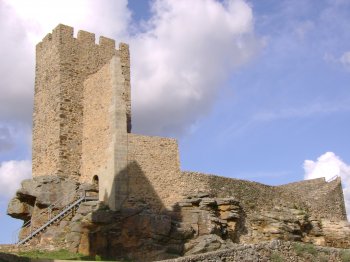
Serra de Mogadouro
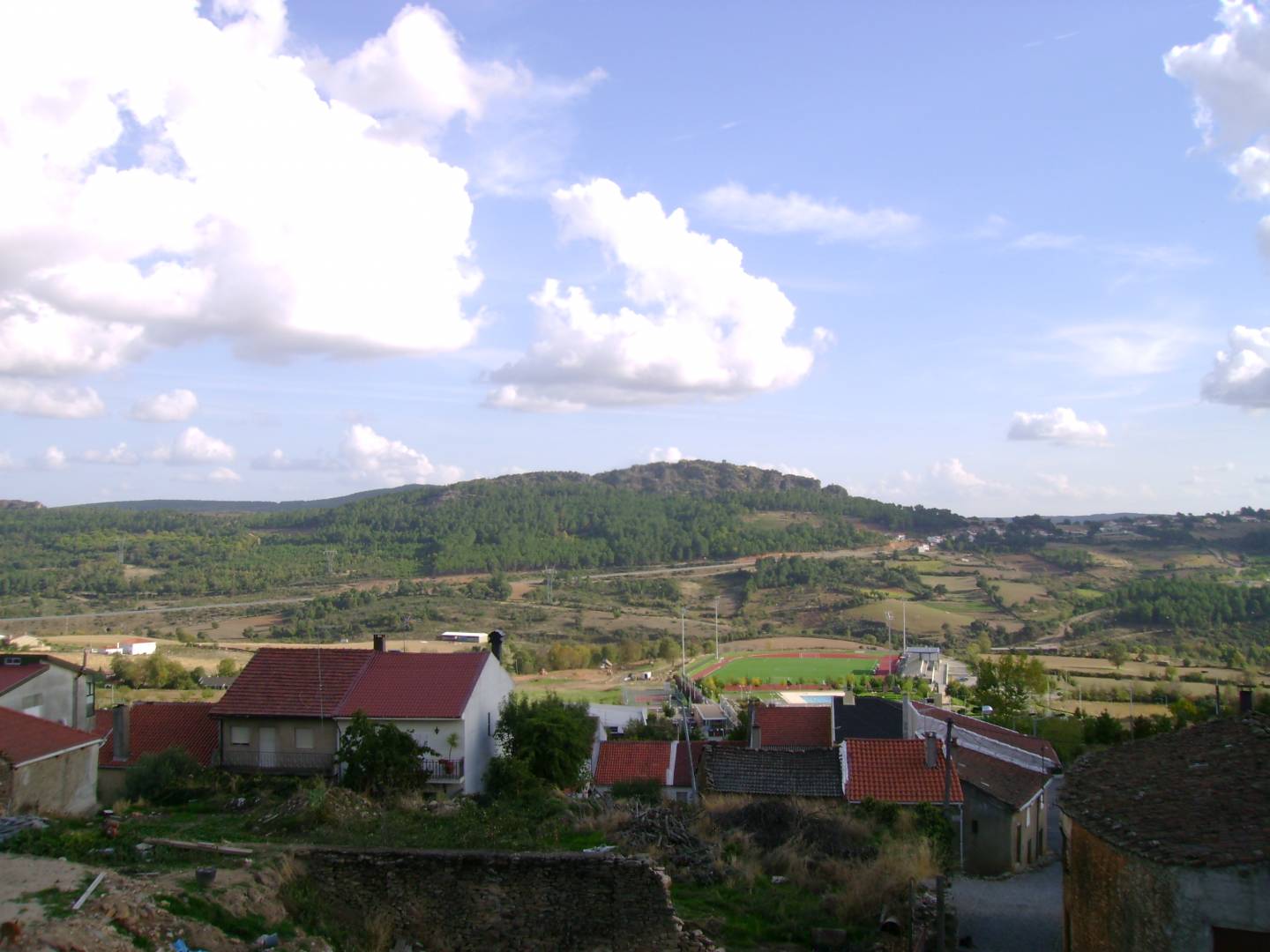
Belonging to the Ancient Massif of Trás-os-Montes, this mountain is located in the extreme northwest of the national territory, between the Douro River and the Sabor River, rising to around 993 meters. The forest landscape has a predominance of pine and chestnut trees, interspersed with some cultivated spaces. The excellent viewpoints stand out: Pico de São Cristóvão and Alto da Castanheira.
Contacts
Mogadouro
5200,Mogadouro
- Mountains
- car access
Characteristics
Natural Resources near Serra de Mogadouro
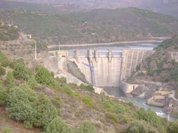
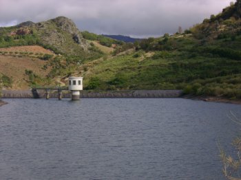
Barragem da Bemposta
A dam surrounded by a lovely landscape of vineyaerds on hedges, on the Douro river's basin. The access by boats is conditioned to the water level of the reserv…
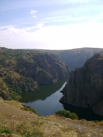
Parque Natural do Douro Internacional
Integrating the municipalities of Figueira de Castelo Rodrigo, Freixo de Espada-à-Cinta, Miranda do Douro and Mogadouro, the Douro Internacional Natural Park c…