Parque Natural do Douro Internacional
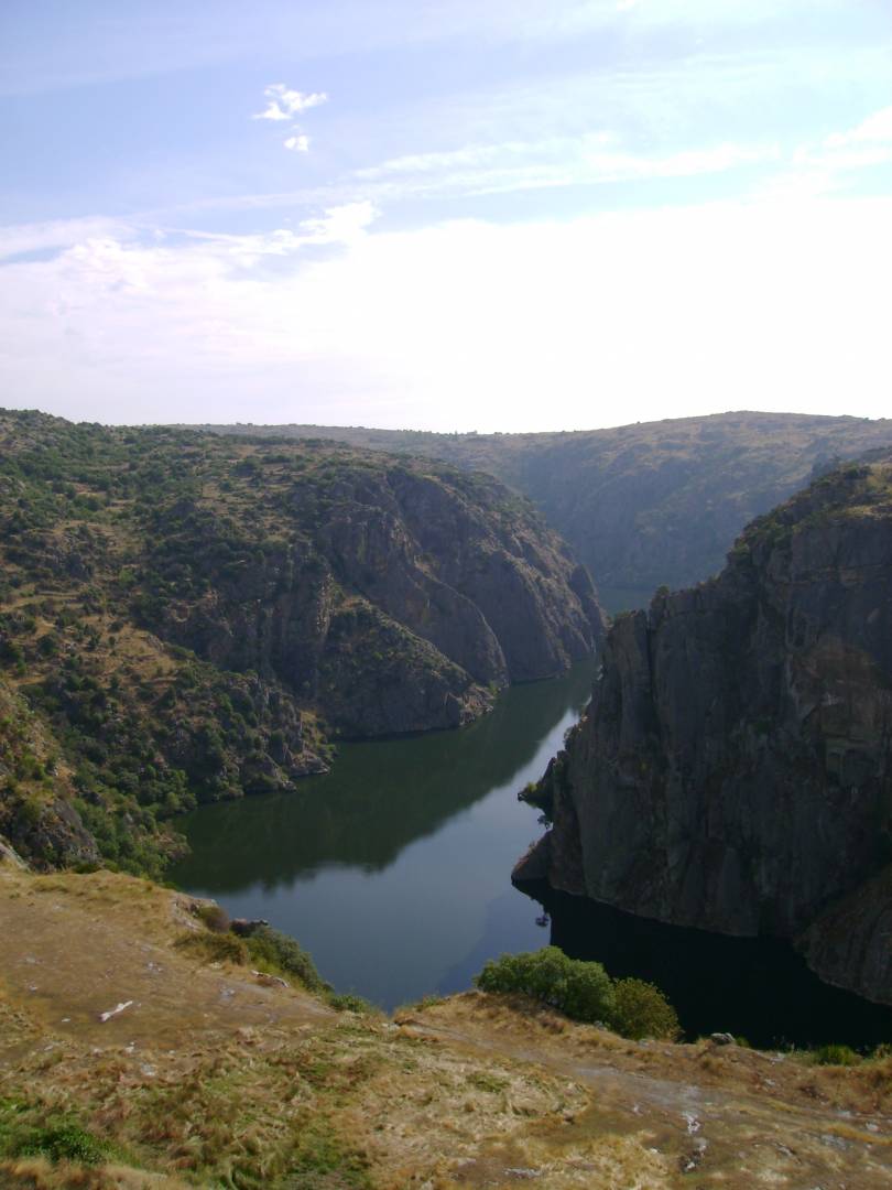
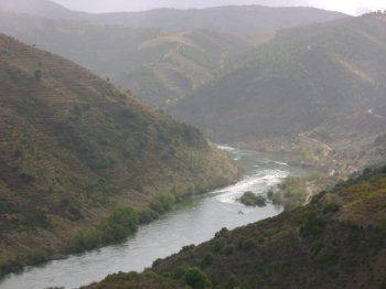
Integrating the municipalities of Figueira de Castelo Rodrigo, Freixo de Espada-à-Cinta, Miranda do Douro and Mogadouro, the Douro Internacional Natural Park covers the 122 kilometers of border section of the Douro River and extends south, to the Douro Valley. From a very deep valley and two plateau areas (essentially granite), one to the North with altitudes of around 700-800 meters and the other to the South with altitudes of around 600-700 meters. The gorges carved by the Douro and Águeda rivers are extremely deep (up to 200 meters) and of great beauty. The Park reaches its maximum altitude (895 meters) very close to the northern border with Spain, in Nossa Senhora da Luz, and the minimum altitude (125 meters) just before the Park ends, very close to Barca d'Alva. The steep banks have a rich faunal value, especially when it comes to nesting birds: Griffon Vulture, Egyptian Vulture, Black Stork, Golden Eagle and Bonelli's Eagle, among others.
Contacts
Rua Dr. Francisco António Vicente, 4
5200-241,Mogadouro
- tel:279341596279341596
- email: [email protected]
- Easy external parking
- Protected areas
- Guided tours
Characteristics
Natural Resources near Parque Natural do Douro Internacional
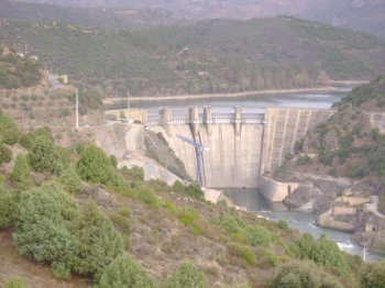
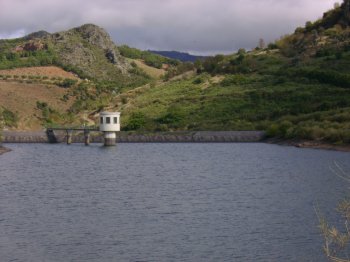
Barragem da Bemposta
A dam surrounded by a lovely landscape of vineyaerds on hedges, on the Douro river's basin. The access by boats is conditioned to the water level of the reserv…
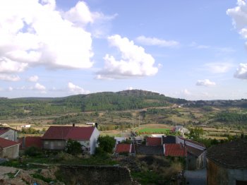
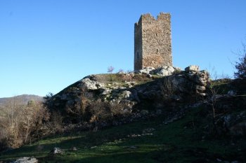
Serra de Mogadouro
Belonging to the Ancient Massif of Trás-os-Montes, this mountain is located in the extreme northwest of the national territory, between the Douro River and the…