Explore the best places
Country in Portugal
Teleférico de Achadas da Cruz
- country
Caminho do Teleférico
9270-014, Achadas da Cruz
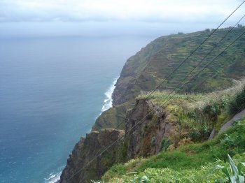
Cable car that connects Achadas da Cruz to the beach, with views of Porto Moniz. It is not recommended for those who suffer from vertigo, but it allows a panoramic view of the green slopes and the ocean.
Sobreiro
- country
Sobreiro
3230, Espinhal
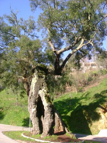
Ancient large cork oak, classified as municipal heritage.
Caminho dos Galegos
- country
Caminho dos Galegos
3550, Mareco
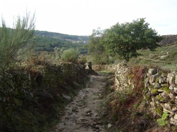
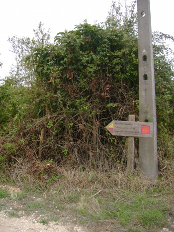
The Camino de Santiago Route was created by pilgrims who went to Santiago de Compostela to praise the apostle Santiago. Along the route, there are many houses, mills and other buildings marked with Santiago's shell.
Serra de Montejunto
- country
Serra de Montejunto
2550, Lamas
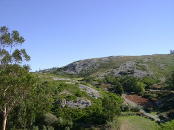
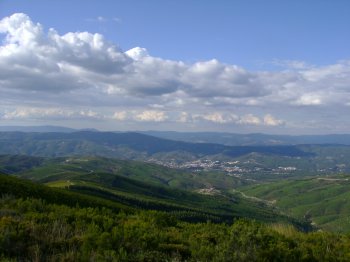
The Serra de Montejunto is fifteen kilometers long and reaches 666 meters at its highest point, from where you can enjoy a vast panorama. The dominant vegetation is holm oak and kermes oak. There is a great abundance of water, coming from the springs that surround it.
Percurso Pedestre Penha do Meio Dia
- country
Montejunto
2550, Montejunto
A two-kilometre walking trail, along which you can see a small lagoon, several cliffs that are nesting sites for birds, the surrounding villages and the plain that extends to the sea.
Percurso Pedestre Trilho da Quinta da Serra
- country
Montejunto
2550, Montejunto
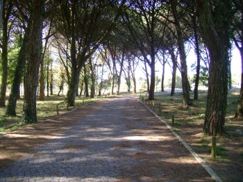
Pedestrian route five kilometers long and lasting around two and a half hours. It is located in the Serra de Montejunto, in the Protected Landscape area and extends to the parish of Lamas. This route is full of extremely beautiful landscapes, including some interesting monuments.
Percurso Pedestre Trilho do Cercal
- country
EN1-5
2550, Cercal
Pedestrian route measuring approximately twelve kilometers and lasting approximately four hours. It is located in the Serra de Montejunto, at the northern end of the Protected Landscape, and extends through the parish of Cercal. It passes through cultivated fields, vineyards and Rocha pear orchards. In the distance, you can still see the Relvo windmills.
Serra do Ladário
- country
Ladário
3680-027, Arcozelo das Maias
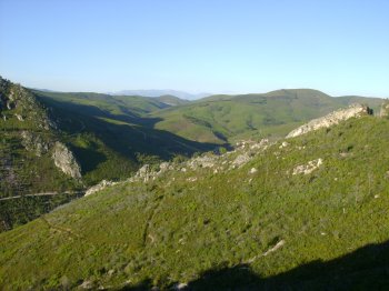
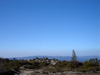
This small mountain range allows you to see Serra do Caramulo, Serra de Montemuro and the entire surrounding region from the top. On clear days you can see the sea and the Aveiro estuary. On this site, there is also a geodesic landmark and a lookout post.
Serra do Cabeço da Rainha
- country
Braçal
6160, Oleiros
Serra do Cabeço da Rainha reaches an altitude of 1080 meters. The biodiversity that can be found is of great environmental value.
Serra do Muradal
- country
São Torcato
6160, Oleiros
Located northeast of Oleiros, it reaches its maximum altitude at 800 meters. The mountain is surrounded by four hills, each topped by a chapel. The viewpoint that exists in Serra do Muradal provides a privileged view over a vast expanse of pine trees, shale towns and villages.