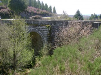
Via Romana XVII do Itinerário de Antonino
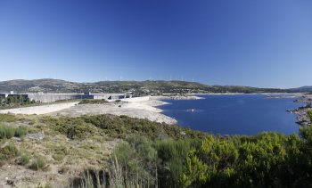
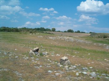
This Roman road emerges from albufeira about one kilometre south-west of the chapel of Saint Alexius, in Penedones, next to the graves. This location until Tariq, the former EN 103 adopted the route of Via romana, passing West of castro de São Vicente, the village of Chã, Peirezes, Peirezes and Gralhós bridge. It was built in the time of the first Roman Emperor Augustus, as evidenced by the anepígrafo milestone. Is an integral part of the route of the Via romana XVII, between Braga and Astorga.
Contacts
Penedones
5470-069,Montalegre
- Easy external parking
- Archeological sites
- True
Characteristics
Monuments near Via Romana XVII do Itinerário de Antonino
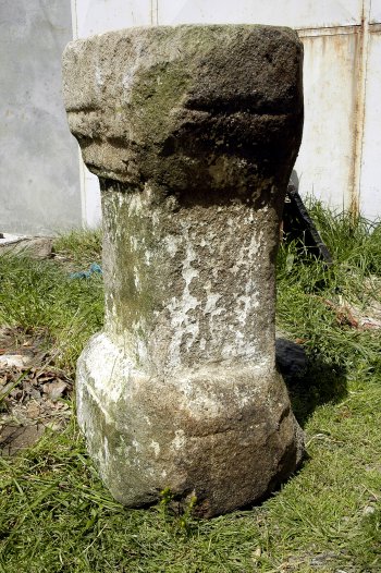
Ara
Ara anepígrafa in medium-to fine-grain granite, gathered near a dwelling, in the village of Penedones, during restoration. It shows traces of inscription, or…
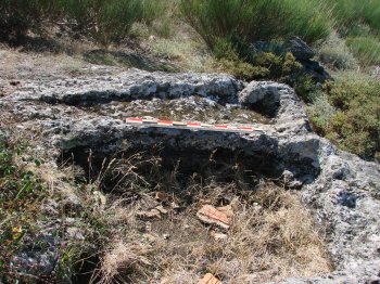
Necrópole de Portela do Antigo
At the Portela of the former, located north of the village of Penedones, there are three shallow granite outcrops, where they identify sets of anthropomorphic …
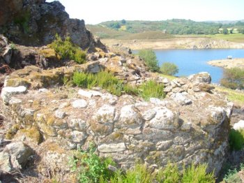
Povoado de Leiras dos Padrões
Traces of an ancient Roman town, located between Penedones and Parafita, in dam surrounds. Here abundant ceramic fragments were found of Roman chronology, spre…
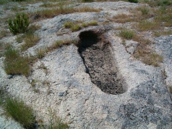
Sepulturas Antropomórficas de Leira dos Padrões
Set of anthropomorphic graves excavated in a granite outcrop, located near agricultural land south of the chapel of St. Alexius. The area of the head and shoul…