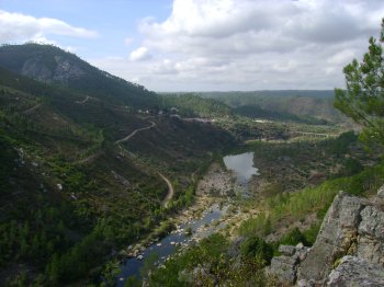
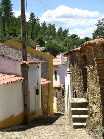
Serra das Talhadas
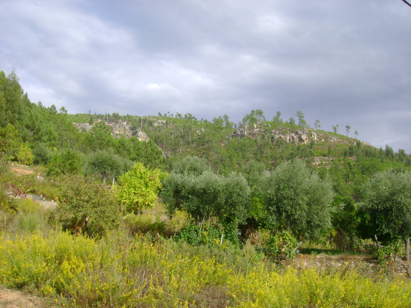
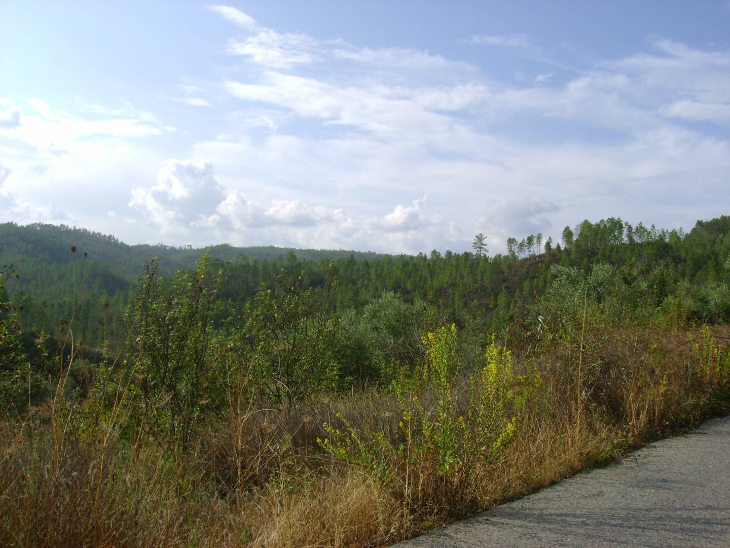
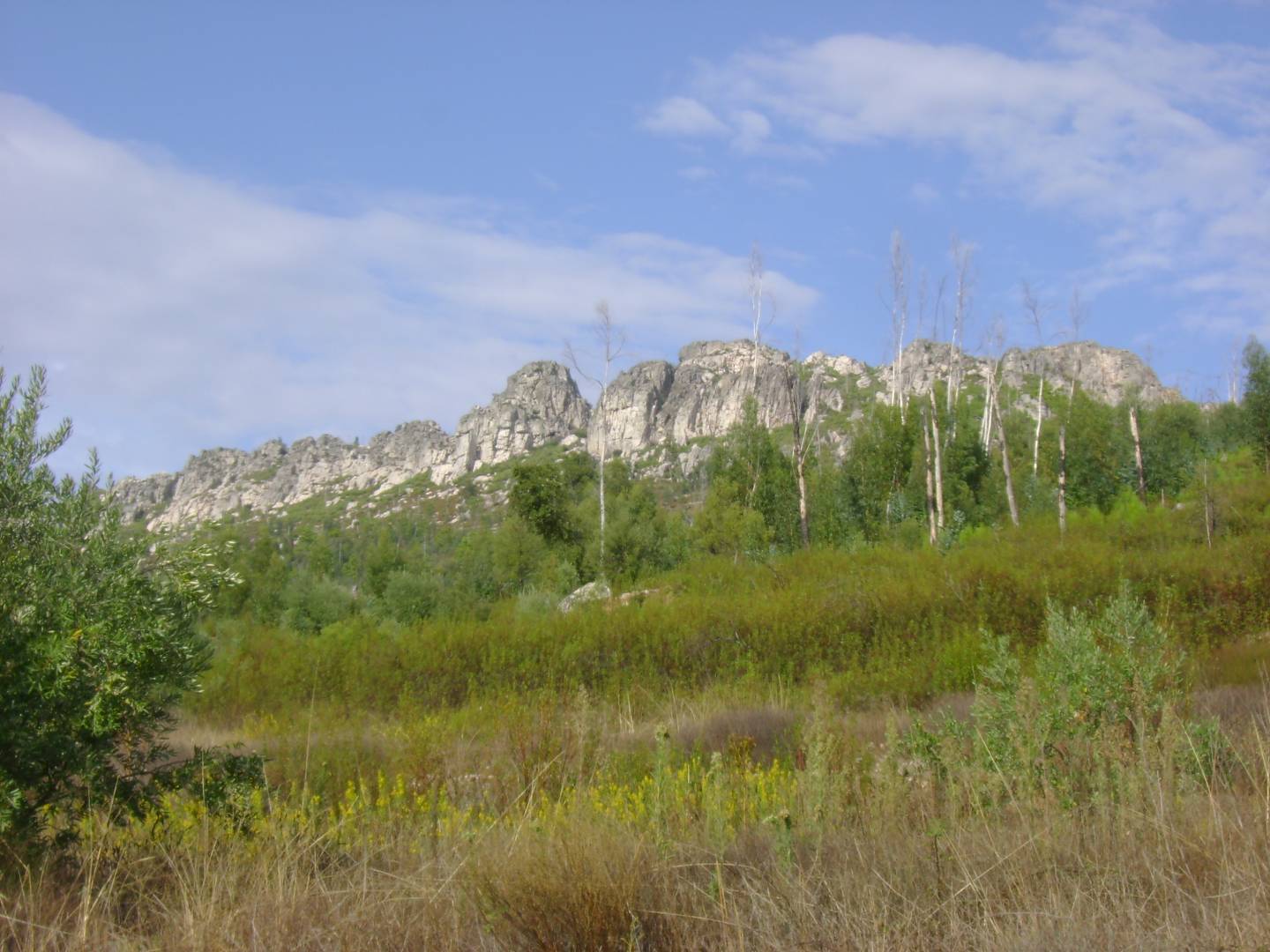
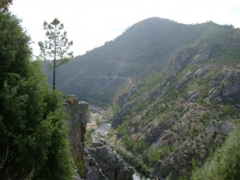
This mountain range connects Alto Alentejo to Beira Baixa, stretching 27 km and measuring almost 2,500 m wide. Its slopes sometimes exceed 50%. It runs through Proença-a-Nova, Vila Velha de Ródão, and Nisa and is traversed by the deep epigenetic valleys of the Tagus and Ocreza rivers. Four geomonuments of the Naturtejo Geopark of the Southern Plateau can be seen in this mountain range.
Contacts
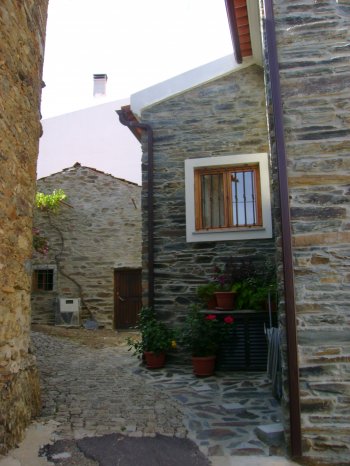
Sobral Fernando
6150,Proença-a-Nova
- Mountains
- car access
Characteristics
Natural Resources near Serra das Talhadas
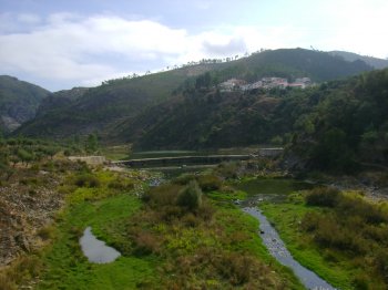
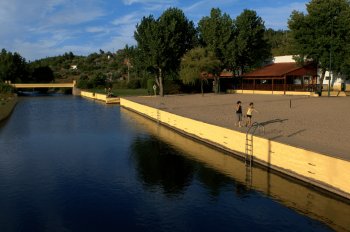
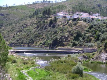
Rio Ocreza
A tributary of the Tagus river right bank that starts on the Gardunha Hill, at an altitude of 1227 metres, in Castelo Branco. It has an estuary with 83 km and …
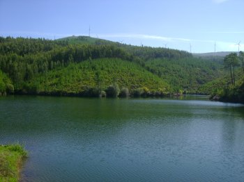
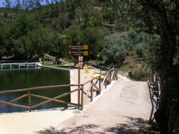
Barragem de Corgas
A dam on the Isna brook, a tributary of the left bank of the Zêzere river, on the Tagus river basin. It is surrounded by pine trees and farmlands. Fishing is a…
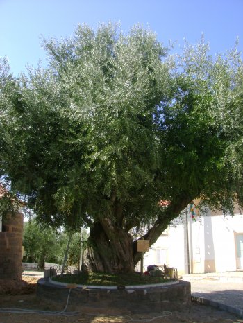
Oliveira de Montes da Senhora
A Living Monument of Public Interest, because it is a centennial tree. The olive tree is a regional symbol. This tree may be around 800 years old.
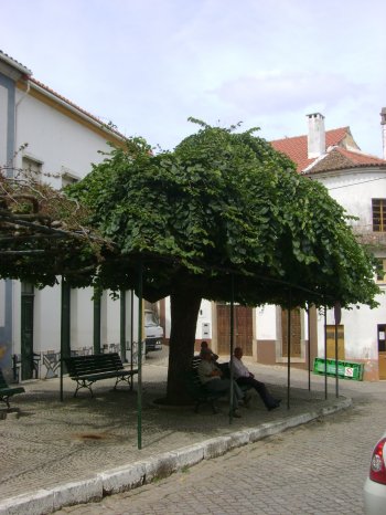
Ulmeiro
Elm classified as a Living Monument of Public Interest. These trees can reach up to 30 meters in height, and their flowers, though scarce, can produce nuts. Th…