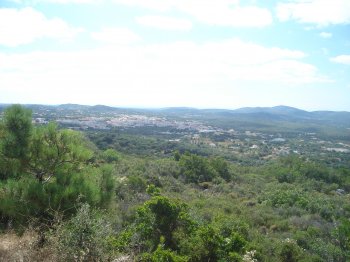
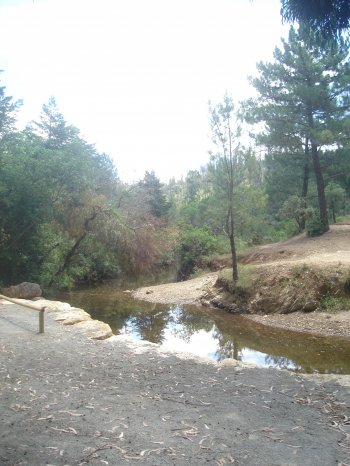
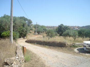
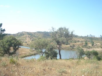
Serra do Caldeirão
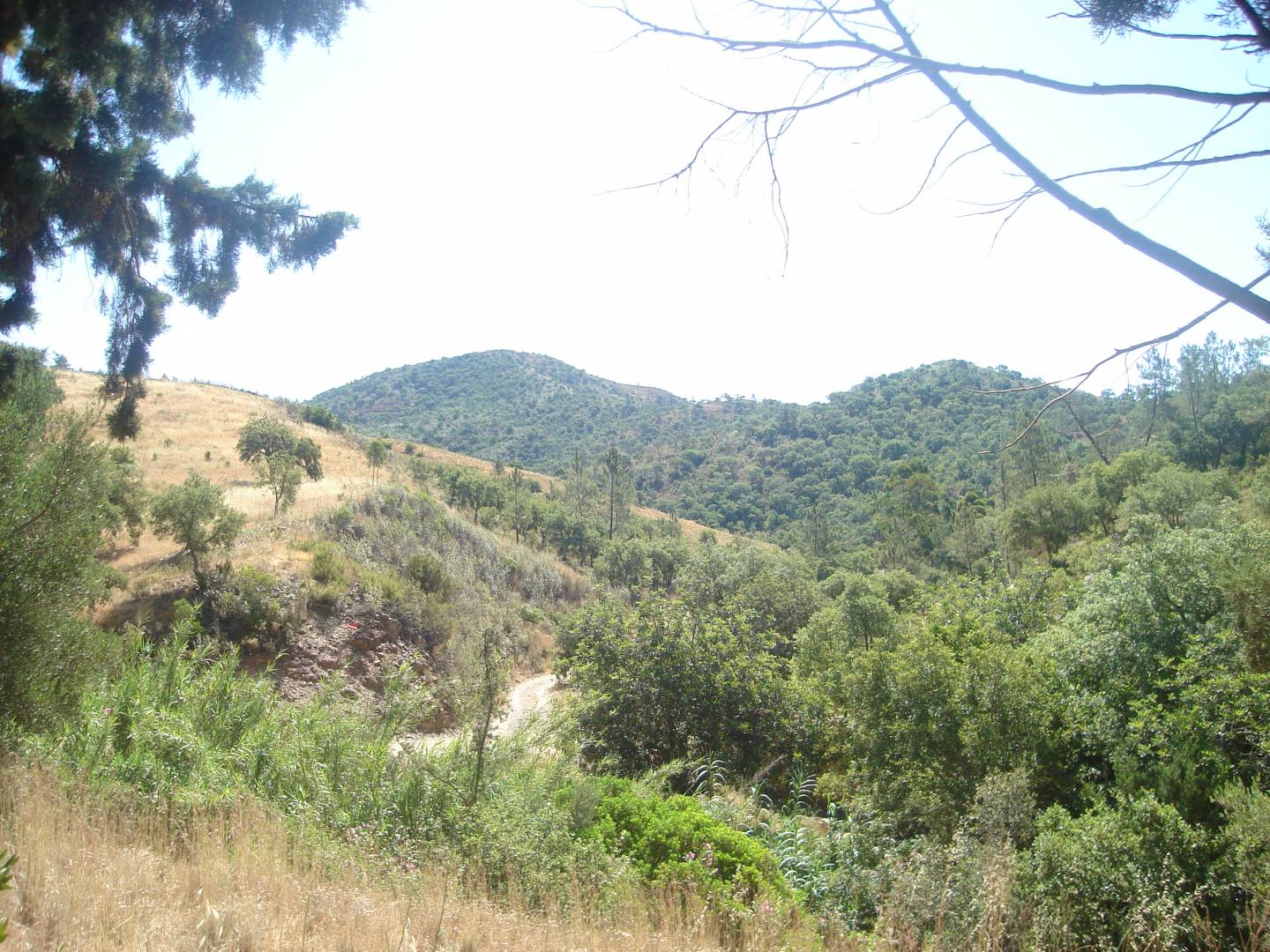
This mountain range is bordered to the north by the transition area to the Beja clay and pre-clay region, to the east by the Guadiana River, to the west by the Serra de Monchique, and to the south by the Barrocal Algarvio. It is therefore located in the central part of the Algarve, belonging to the Old Massif, in southern Portugal. The maximum altitude is 577 meters, reached at Pico do Mu, and its vegetation has characteristics typical of the Algarve region. It has very low population density, with a resident population of approximately 70,000.
Contacts
Serra do Caldeirão
8150,São Brás de Alportel
- Mountains
- car access
Characteristics
Natural Resources near Serra do Caldeirão
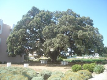
Azinheira do Alportel - Árvore Monumental
Tree of Public Interest since 1942. It has 4,10 meters of perimeter, 25 meters of diameter and 15 meters high.

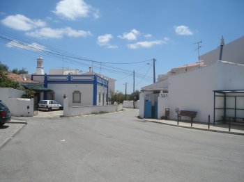
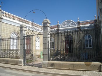
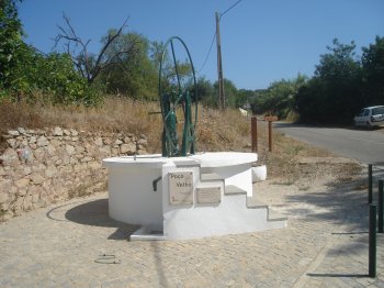
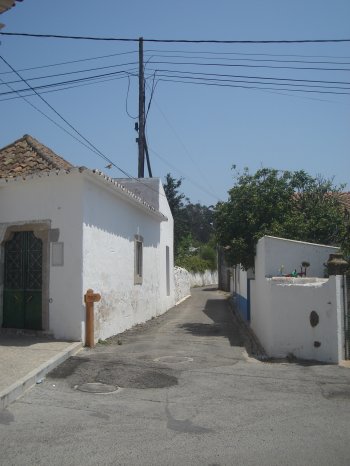
Are you going to São Brás de Alportel?
See the suggestions of places to visit we have for you!