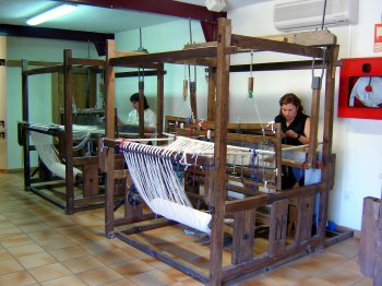
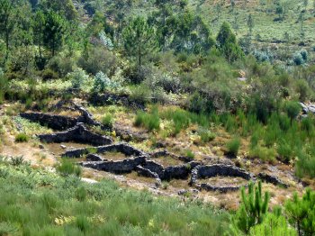
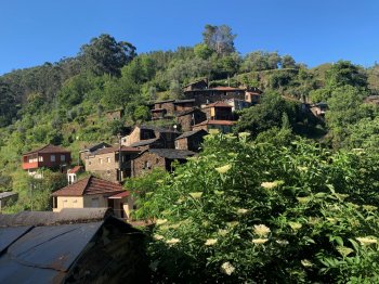
Serra de Arada

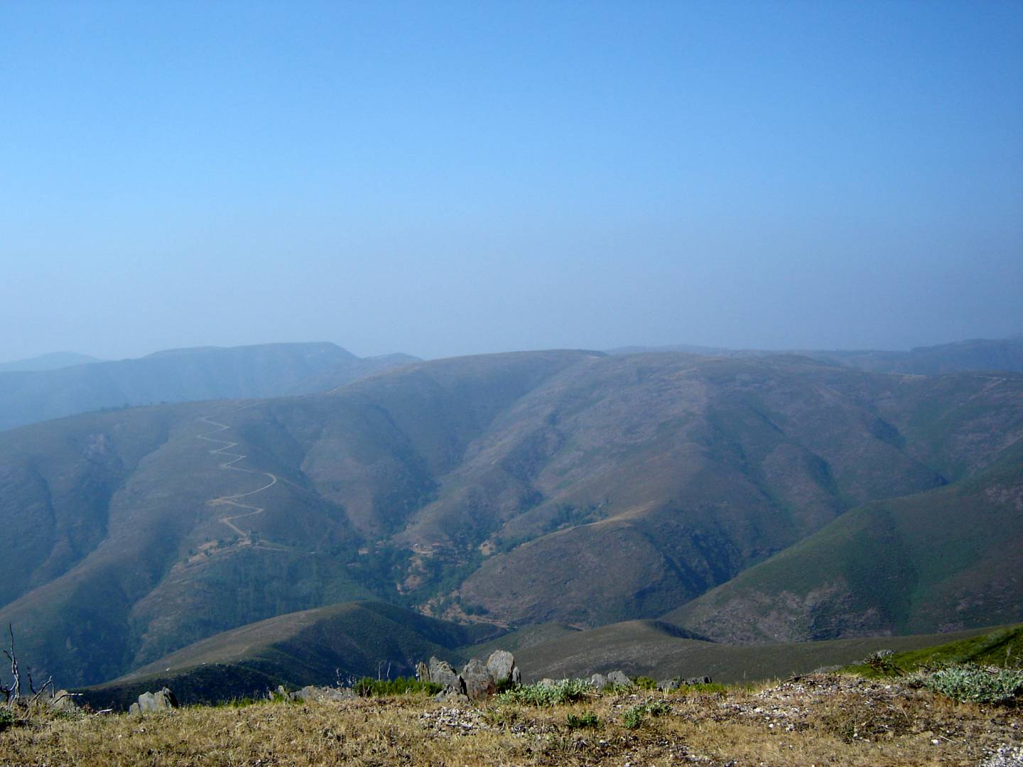
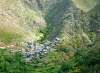
The Arada Hill partly divides the Paiva and Vouga river basins. It starts in Castro Daire and reaches its peak at São Pedro do Sul. It is 20 km long and 15 km wide. It has some villages lost in time, such as Drave.
Contacts
Serra de Arada
3660,Candal
- Mountains
- car access
Characteristics
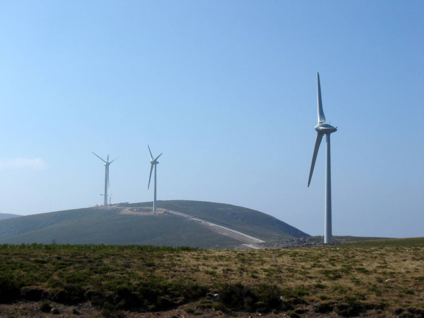
Natural Resources near Serra de Arada
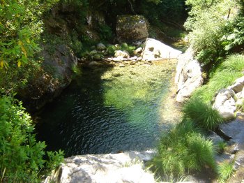
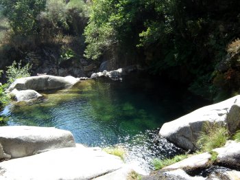
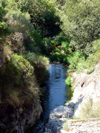
Poço Azul
Poço Azul is a rocky area with very clean running water, small waterfalls, and a deep lagoon, making it ideal for swimming. It's well-marked and easily accessi…
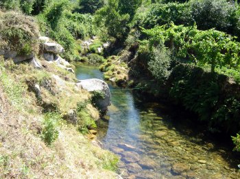
Poço da Gola
Small artificial dam, which receives the pure water that comes down from Serra Amarela, being fed by two waterfalls: Saxoeira and Gola.
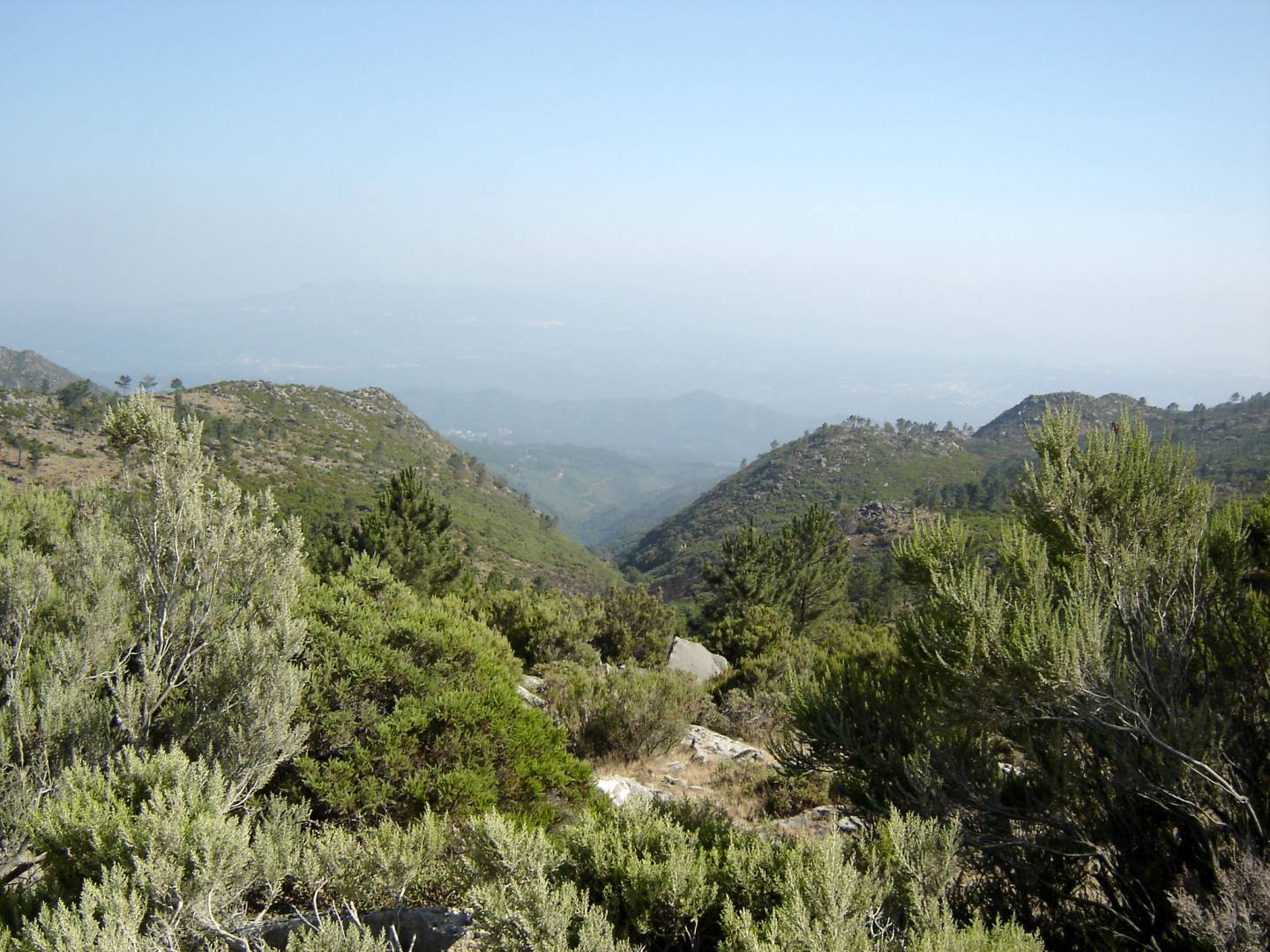
Serra de São Macário
The São Macário Hill is located to the north of São Pedro do Sul and reaches its peak at Castro Magaio, at an altitude of 1053 metres. From the hilltop one has…