
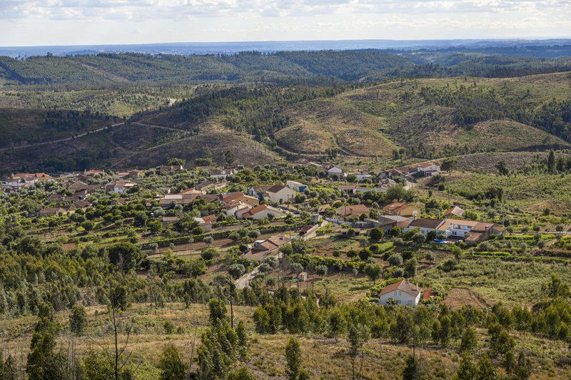
Right in the heart of Portugal, you can find the friendly village of Mação, very rich in history and natural resources. There are many routes to discover in the territory, in a journey full of adrenaline and in close contact with Nature. Put on some sneakers, wear comfortable clothes, set out to discover the “blue mountains” and let yourself be conquered by the irresistible Mação Routes. If you are a fan of Geocaching, get ready because this adventure was made for you. All About Portugal has selected 10 routes for you to get to know this dream destination more closely, right next to the Templar City of Tomar.
Cardigos Praia Route
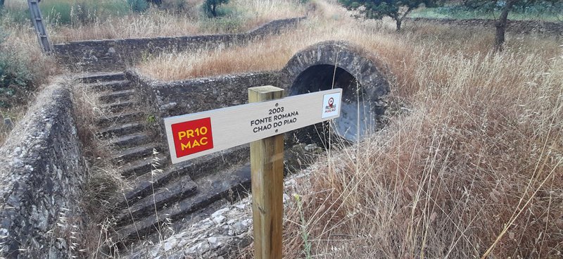
We start with the easiest route between the ones presented here. In total, it reaches 10 kilometres, which you can cover in four hours, climbing to a maximum altitude of 469 meters. It is a route that includes mainly rural paths, in a circular walk, starting from the River Beach of Cardigos, where it also ends. Among the highlights of the walk, the Roman Fountain Chão do Pião, the Fundeira da Roda Fountain and the Vergancinho Dam stand out.
Ortiga Sul Route
A little more difficult, this route includes a 15-kilometre, circular path, with an accumulated drop of 204 meters. From the Dr. João Oliveira Casquilho Square, set out to discover the surrounding landscapes, which you can admire from the Church’s Viewpoint or the Boavista Natural Viewpoint. You can also witness the beauty of the Belver Dam, the Tejo and the Pesqueira da Salgada Lagoons. It is a particularly attractive route for Geocaching fans.
Queixoperra Route
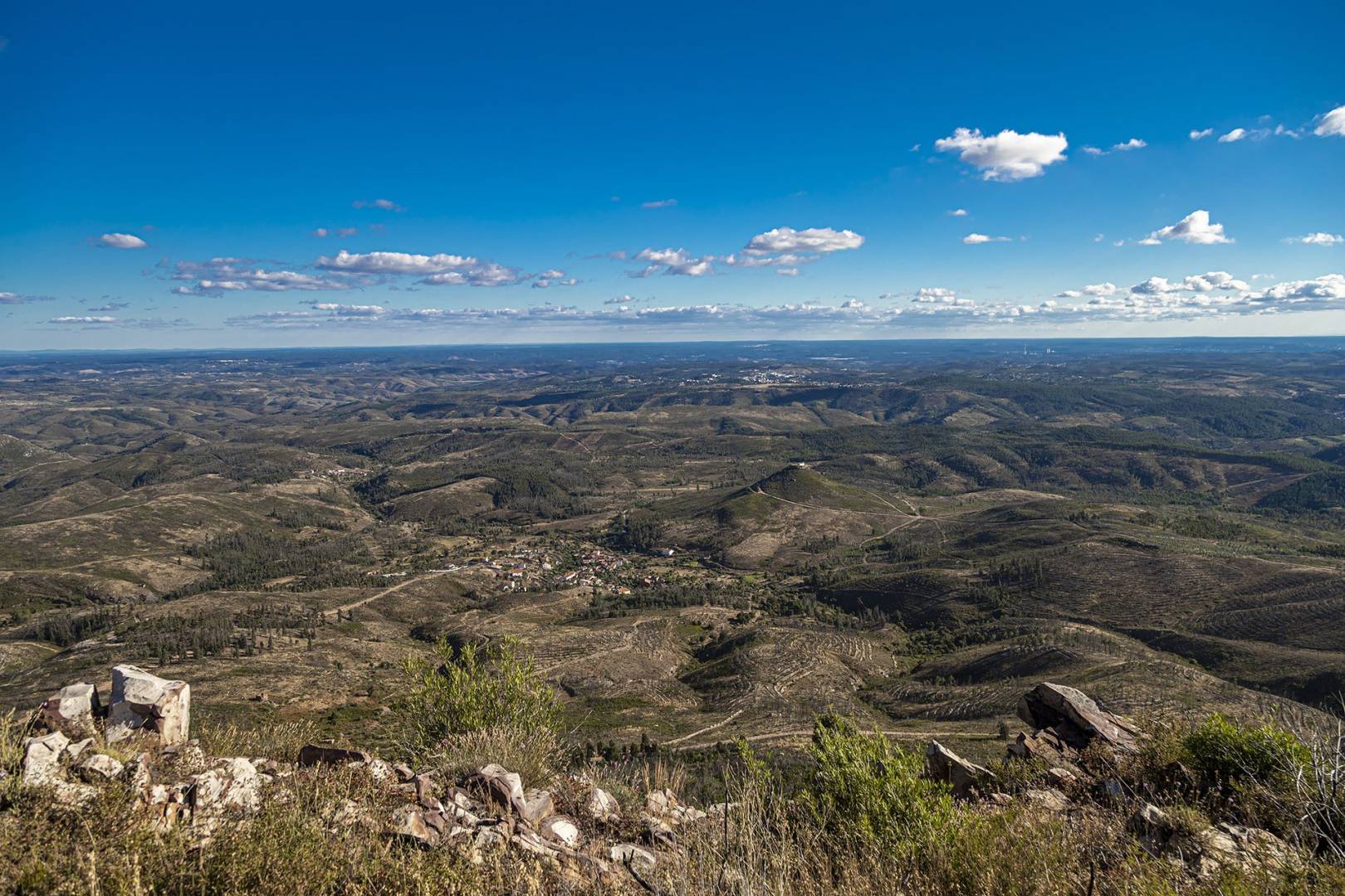
Continuing on routes of intermediate difficulty, for those who want to be challenged… but not too much. It is estimated that it takes four hours to cover the 11 kilometres of this route, from the Square of the Recreational and Cultural Centre of Queixoperra. Also ideal for Geocaching fans, the route has as points of particular interest the Cabril Dike, the Well of the Hoists and Marmitas das Azenhas geosite, as well as the 360º Natural Viewpoint of the Corvo Mountain Range.
Amêndoa Route
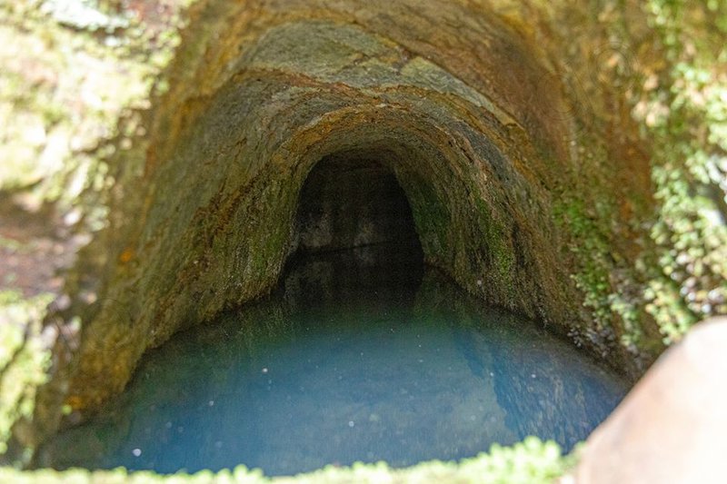
The almond is the protagonist of this route, with an intermediate degree of difficulty. With a circular shape, starting from the Church Square, the route extends for 17 kilometres and offers a unique knowledge of the history and particularities of this pleasant parish. This path “hides” resources of incredible beauty, such as the Well of Mourão, the Water Mine in Pé da Serra and the Trout Well. Don’t forget to visit Granja, Lameiras and Chão de Lopes Grande, not too far away from the route.
Penhascoso Route
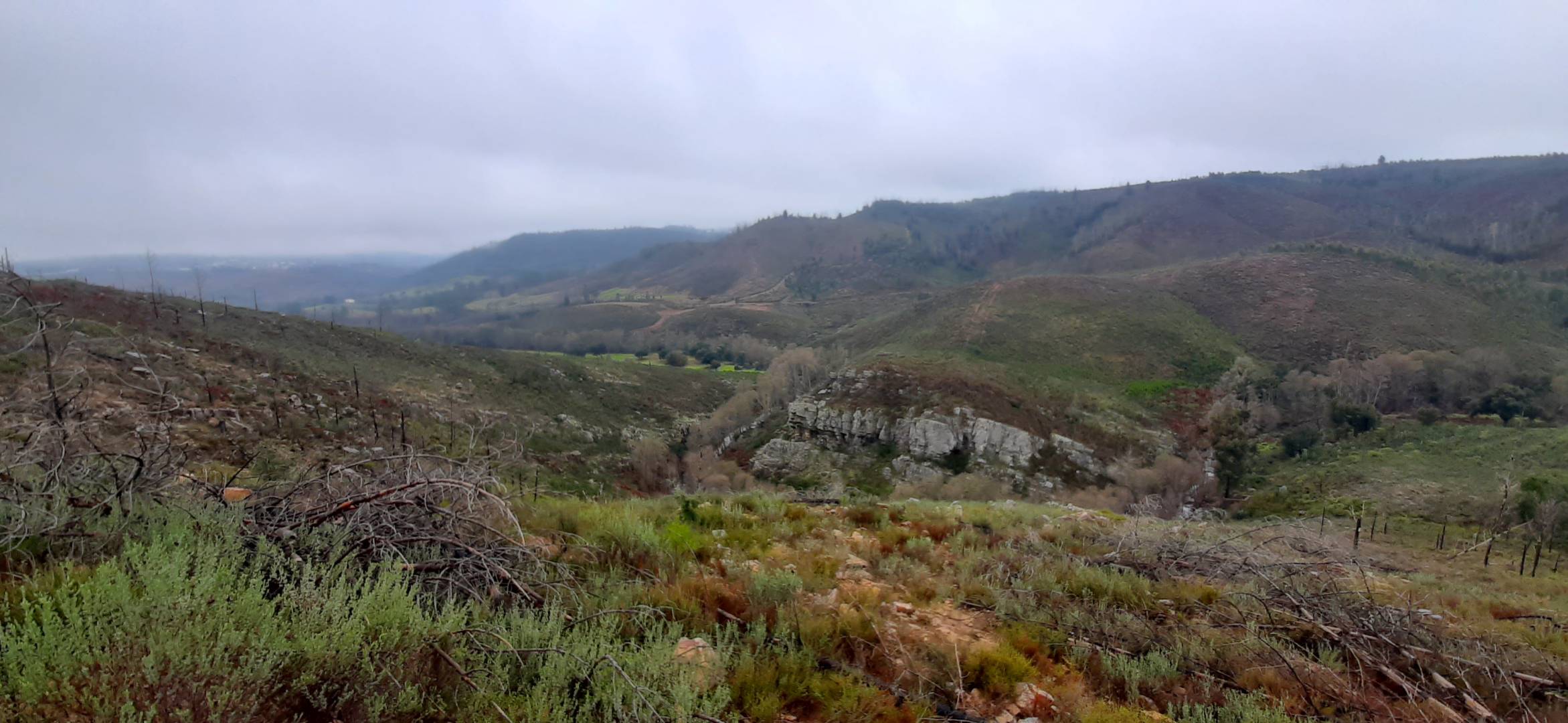
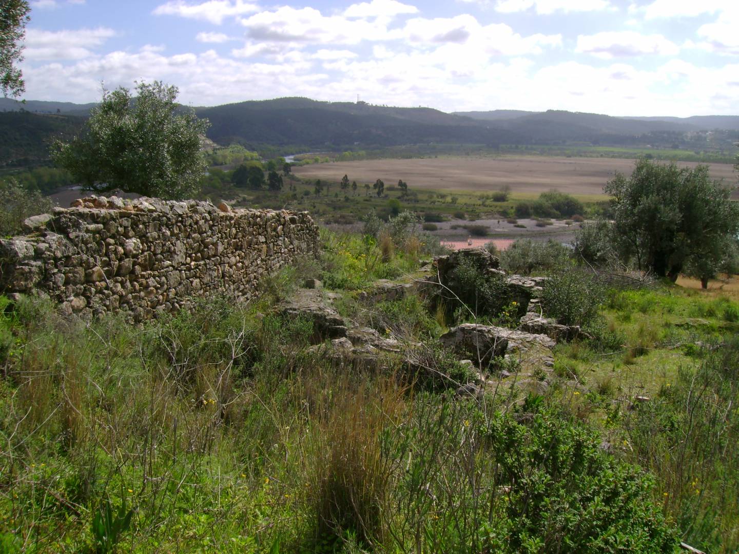
The Coadouro Stream is the main reference of this route, which extends over 18 kilometres. The route illustrates part of the identity of this region, with elements related to ancient professions, linked to agriculture, and to the Romans. Among the points of interest of the Penhascoso Route, the Penha Well, the Coadouro Valley Viewpoint, the Fraga da Penha geosite and the Roman Bridge of the Coadouro Stream are worth mentioning.
Brejo e Bando dos Santos Route
We've reached the roughest Mação Routes, for the most adventurous (an in shape). We start with a 19-kilometre route, with an estimated duration of seven hours. The steep slope reaches 766 meters, and, on very hot days, the best thing is to choose another challenge. Particularly noteworthy are spots where you can admire the surrounding beauty, such as the Panoramic Swing of Mação and the Viewpoint at the Bando dos Santos Mountain Range, as well as many impressive natural attractions, such as the Waterfalls of Chão do Brejo and the grotto known as Buraca da Serpe.
Carvoeiro Route
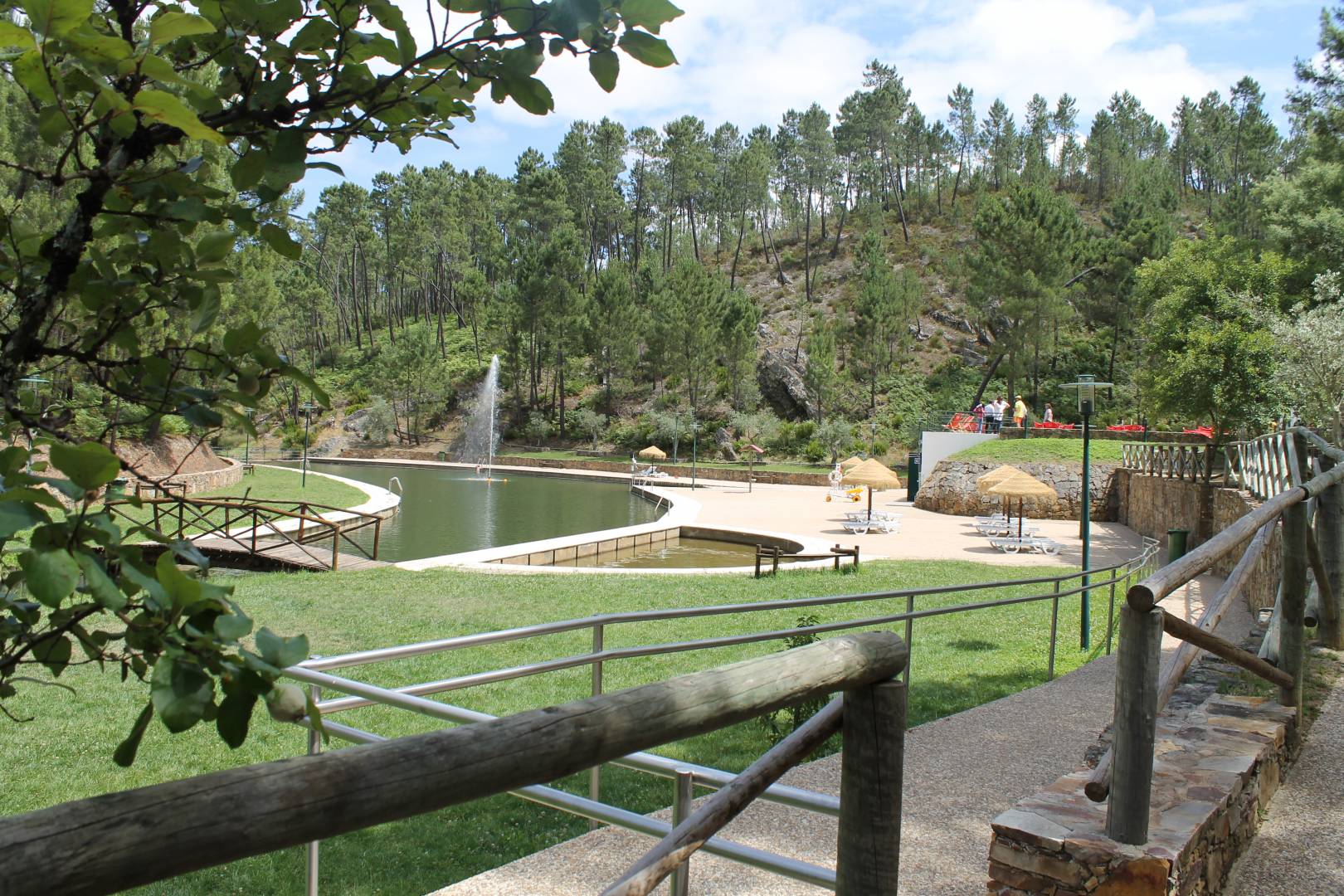
The Fluvial Beach of Carvoeiro is one of the unavoidable attractions of Mação, inviting you to dive in the hottest days. This route calls you to discover the area in a different way, with a circular route of 16 kilometres. Admire the tranquillity of places such as the Lagoon of Aldeia da Laje, and the villages of Frei João, Maxieira and Balancho. Get in close contact with the rural reality preserved by generations of history and have a human and irresistible perspective on Carvoeiro.
Casas da Ribeira/Caratão Route
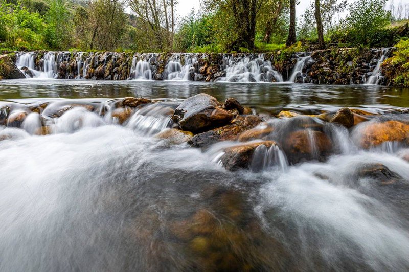
This route takes you along the paths that, in the past, farmers and millers used routinely. It extends mainly along water courses, namely the streams of Eiras, Caratão, Aziral and Carvoeiro. It is known as the route of the streams, dams and levadas, being a challenge of unique beauty. Example of that are the passage through Pego Negro do Cabril / Mua Valley, the Old Bridge, the spring known as Bica do Chorro, the Casas da Ribeira weir, and the area of Pego das Hortas.
Envendos Route
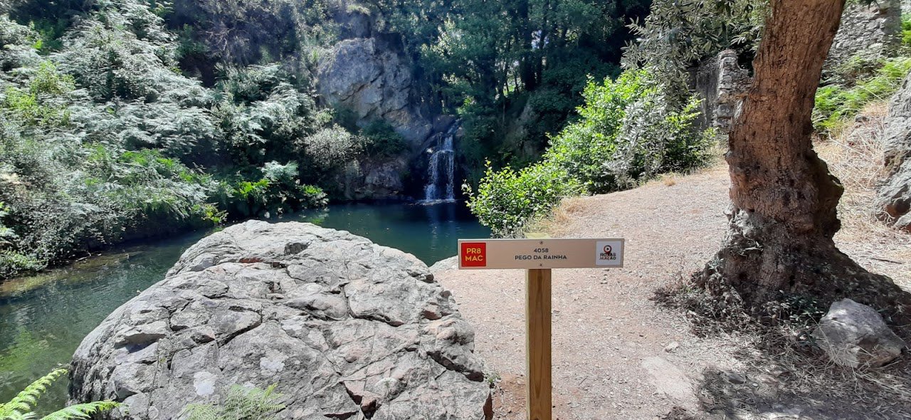
Characterized by its high degree of difficulty, its main attraction are the viewpoints it integrates, which offer stunning perspectives on the region. It is, without a doubt, a route to traverse camera in hand. In total, there are 19 kilometres and seven hours of journey. Among the highlights of the route are the Pego da Rainha, the Pego das Bruxas, the Maxial Viewpoint, the Meandros da Pracana Natural Viewpoint, and the Geodesic Vertex of the Old Castle of Zimbeira.
Matas e Vale do Ocreza Route
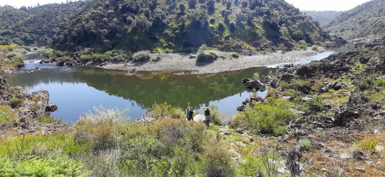
We end our list of suggestions with a route being planned and expected to be completed in 2022. With a high degree of difficulty, the route includes points of interest as varied as the Velha Barca da Amieira-Envendos, the Barca da Amieira-Envendos Railway Station, the Ocreza Archaeological and Environmental Park, the Teleférico Viewpoint, the Ocreza River Mouth Viewpoint, and the Algarves Stream.
As many routes are not marked on the terrain, it is recommended to install the Routes of Mação (Rotas de Mação) app, available for Android and iOS.
Recommended