Explore the best places
Results for Percursos Pedestres in Portugal
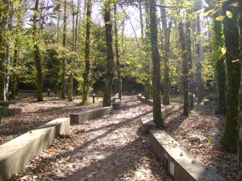
Percurso Pedestre Rota das Minas (PR4)
- country
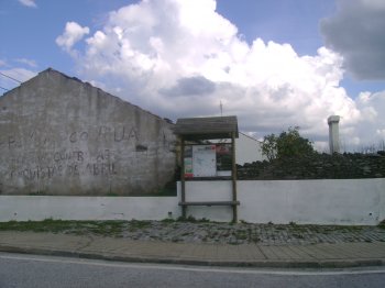
Segura
6060, Idanha-a-Nova
Pedestrian circulation, with about ten kilometres, which starts and ends at the tour desk. Through small rural roads, passes by the former would wash, where he washed the ore, the old lead mines and by the ancient mines of tungsten and Tin, among many other places of interest.
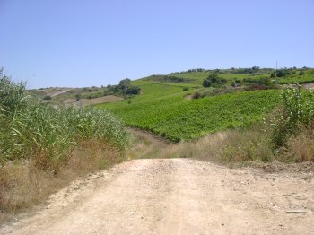
Percurso Pedestre Rota do Vinho e da Vinha
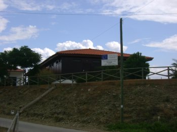
- heritage
Rua Joaquim Batista
2565, Dois Portos
Small path route with a distance of 15 kilometres, with several smaller sections, for those who don't want to traverse the entire length. You can enjoy the rural experience and observe an unmatched landscape.
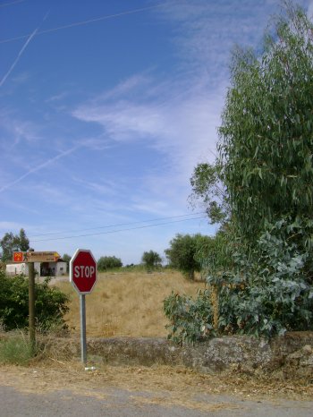
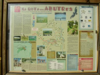
Percurso Pedestre Rota dos Abutres (PR1)
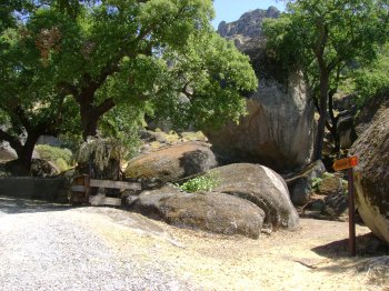
- country
Largo do Adro da Igreja
6060, Idanha-a-Nova
Pedestrian path of small route with about 10.5 kilometers, beginning and end near the Chiesa Madre (mother church) of Salvaterra do Extremo. Through small rural roads, passes through ancient water mills, various sources and some watercourses. Emphasis on the area near the old post of guarda-fiscal, where there is a Bird Observatory where it is possible to view Gryphons (vultures).
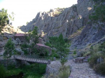
Percurso Pedestre Rota dos Açudes (PR6)
- country
EM 526
6050, Montalvão
Beginning in the village of Salavessa, filled with typical houses, this route will be taken down the Tagus till you find a pontoon to the water edge you will get to a dam and the bowels of serra de São Miguel. In your company will be the ribeira de Fivelo, where another dam, behind which come. The extent of this ride is 10.6 km and estimated duration of the 3:30 h.
Percurso Pedestre Rota dos Estevais (PR7)
- country
CM 1353
6150, Proença-a-Nova
The starting and finishing point of this route is the Polo Municipal Library of s. Pedro do Esteval. For approximately 3:0 of a route with 7, 8 km in length, will be possible to observe: the Chiesa Madre (mother church), the new mill, the Watermill of Brazinhas, the Old Mill, the fountain of Fadagosa and the Roman bridge. Easy route.
Percurso Pedestre Seara Velha (GR117)
- country
Lugar das Poulinhas
5400, Soutelo
A 2.8 kilometres long pedestrian trail that belongs to the Great Route 117, a set of pedestrian trails that aims to promote the natural and cultural heritage of several parishes.
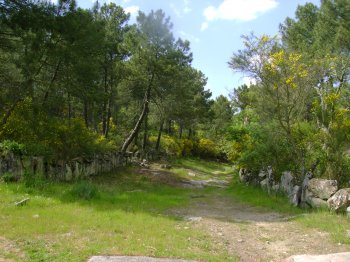
Percurso Pedestre Trilho da Quinta da Serra
- country
Montejunto
2550, Montejunto
Pedestrian route five kilometers long and lasting around two and a half hours. It is located in the Serra de Montejunto, in the Protected Landscape area and extends to the parish of Lamas. This route is full of extremely beautiful landscapes, including some interesting monuments.