Explore the best places
Results for Serra+da+Estrela in Portugal
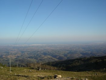
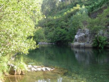
Rio Mondego
- beach
- country
Rio Mondego
3090, São Pedro
The Mondego river has its spring on the Estrela mountain, municipality of Gouveia, at an altitude of 1425 metres. Between the spring and the mouth, the Mondego flows along around 220 kilometres. Its banks, between Coimbra and Figueira da Foz, are the most fertile lands in Portugal.
Penaverde
- country
- heritage
Penaverde
3570, Pena Verde
With its origins dating back to the neolithic (there is one cavern of that epoch at São Pedro dos Matos, with two rooms), the oldest parish in the ouncil of Aguiar da Beira has about on thousand inhabitants. It has strong gastronomical traditions (queijo da serra - Estrela mountain cheese -, sausages, cabbages soup and olive oil cake) and craftswork traditions too. Its inhabitants are mostly farmers and cattle raisers. A special note to the pillory (of the 15th century and classed as a public interest construction), the mother church, the castro (a celtic village) of Gralheira, the roman road …
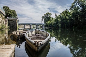
Rio Águeda
- beach
- country
Fermentelos
3750, Águeda
A river approximately 130 kilometers long, serving as a border between Portugal and Spain for twenty kilometers. It originates in Spain, in the Serra das Mesas mountain range, and flows into the Douro River near Barca D'Alva.
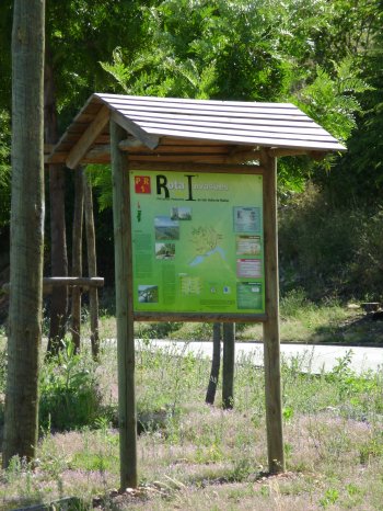
Percurso Pedestre Rota das Invasões (PR1)
- country
Avenida da Bela Vista
6030, Vila Velha de Ródão
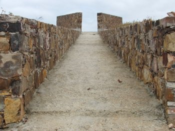
A walking trail approximately eight kilometers long, beginning and ending at the Casa de Artes e Cultura do Tejo. You'll pass through the Serra das Talhadas, visiting several military monuments, the Portas de Rodão, and the Conhal (a monumental group of quartzite blocks).
Vistas para a Cidade Marco de Canaveses, Serra da Abobreira e Rio Tâmega
- country
- leisure
Maureles
4560, Penafiel
A privileged space to enjoy the views of Marco de Canaveses, the Abobreira Mountain and the river.
Miradouro do Bando dos Santos
- country
Miradouro do Bando dos Santos
6120, Mação
Vista única sobre as redondezas, oferecida pela Serra do Bando dos Santos.
Arouca Geopark
- country
Rua Abel Botelho, 4
4540-102, Arouca
The Arouca Geopark encompasses the administrative area of the Municipality of Arouca, which has distinguished itself through its exceptional geological heritage of international relevance, recognized by the UNESCO European and Global Geoparks Network since 2009. The valuable and unique inventoried geological heritage covers a total of 41 geosites, with particular emphasis on the famous "Birthing Stones" of Aldeia da Castanheira (Serra da Freita) and the Giant Trilobites of Canelas.
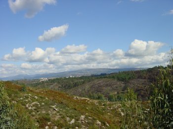
Miradouro de Santa Luzia
- country
- leisure
Rua António M. Costa
3460, Tondela
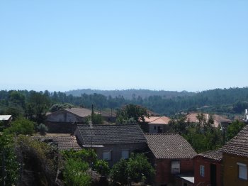
A belvedere on a rocky formation from where one views the village of Carvalhal and, when the day is clearer, the Estrela Mountain.
Trilho Pedestre Pico Alto - Anjos (PR2)
- country
Pico Alto
9580-111, Vila do Porto
The path begins in a tarmac road that climbs towards the Pico Alto (587 m), the highest peak of Santa Maria. Then follows up a thicket of cater toward the Floor of John Thomas. Here you can see some plants of the Laurissilva forest, such as pau-branco, Heather, uva-da-serra, tamujo, Laurel, among others. More ahead the Barreiro da Faneca, known as "Red Desert of the Azores", because it is composed of reddish clay soils. Already at the end, still time to visit the Furna DAS.
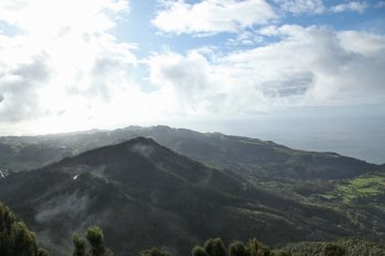
Miradouro da Fóia
- country
- leisure
Fóia
8550, Monchique
This is the highest point in the Algarve, at 902 meters. The extent of the landscape depends on the greater or lesser cloudiness, but on clear days the view extends, on the one hand, to Cabo de São Vicente and further north to Serra da Arrábida, and on the other, to Faro.